The map as a source of truth
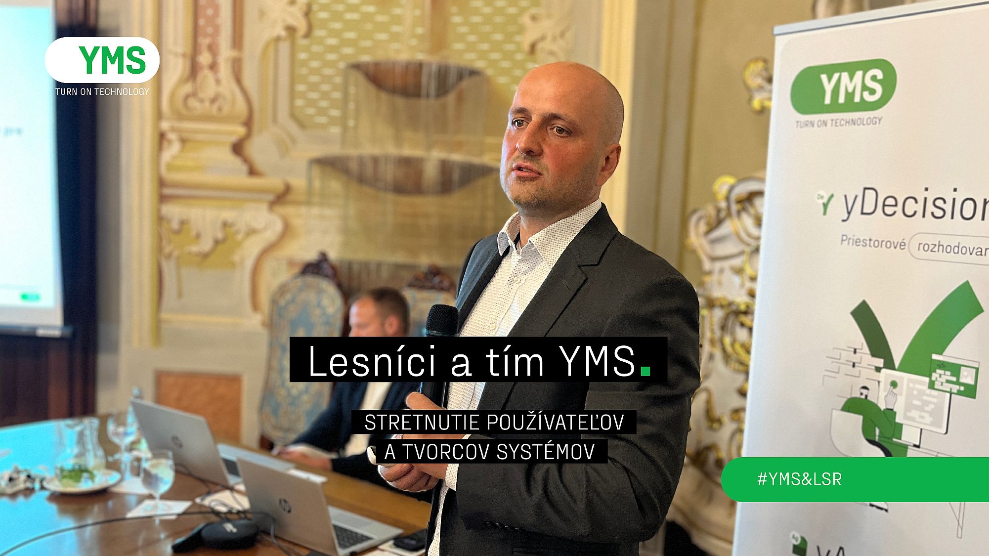
Ivan Hanula and Marcela Mojžišová from the LSR GIS team reviewed the year on behalf of LSR. They started with the motto: Maps are the source of truth that is otherwise invisible.
Says Ivan Hanula: “When different views on the real state of the forest do not coincide for various reasons, the map is the place that at the end of the day every forester can trust.”
Together, they summarized the parts of the GIS system, data sources, and user roles, which include everyone from top management to informants. They also pointed out the most common mistakes foresters make when working with the WebGIS application and guided them to its correct use.
Ivan Hanula concluded the recapitulation part with the sentence: “I dare say that maps allow us to better know, understand, manage and cultivate our beautiful Slovak forests.”
Satisfaction and “Workers” of the Year
We continued with a summary of the results of the satisfaction survey and the awarding of the “employees of the year”. “Of the surveyed users, 99 percent expressed satisfaction with the system, and WebGIS has a high or medium benefit for 96 percent of them in their daily work. Overall, the foresters gave the system 4 stars out of five, which we as a team are very satisfied with,” summarizes Juraj Vacula.
Foresters are satisfied with all parts of the system, which is intuitive and for the most part does not require training. One of the foresters summed it up in an anonymous survey: “The system has become an integral part of our daily activities at the forest administration and has completely replaced the printed map operator. At the YMS and LSR meetings, I always learn about new features that I use in practice, and I have the opportunity to submit proposals for expanding the functionality.”
It has become a pleasant tradition to award the most active users who, in the midst of their work, do not consider how many operations they perform per year, so the award is a surprise for them. “This year, we awarded 11 foresters in five categories, from the largest number of edits to the largest number of bulk operations,” adds Juraj Vacula.
Drones in the forests
A special part of the meeting was a presentation of the use of drones in the Forests of the Slovak Republic environment. It was started by LSR GIS analyst Ivan Hanula with a lecture on how drones will change forestry. “Drones have already established themselves in agriculture and will definitely change forestry, in terms of speed and availability of information. LSR has several dozen drones deployed at forest administrations and branch plants. Data obtained by drones is in WebGIS, mobile application and enterprise GIS within 24 hours.”
Representatives of the Uavonic company also presented the possibilities of drones to foresters. In live demonstrations, they demonstrated area scanning, data processing, special types of drones, and a “drone-in-a-box” solution that can autonomously monitor selected areas. There were also demonstrations of FPV drone flying skills.
Research projects
The YMS team of innovators has already invested around 150 thousand hours in research and is also working on projects in the forestry domain. The application from the FOCAL research and development project, in which YMS participates and which is funded by the Horizon Europe call, will have the greatest impact and practical potential. It was presented at the meeting by Radovan Hilbert, YMS Business Development Director: “We are working in a strong consortium of partners, such as the Max Planck Institute or the Frauenhofer Society, on an intelligent platform for modeling the impacts of climate change with a forestry and urban planning focus. The result will be a climate model based on current data and artificial intelligence, available to foresters and urban planners to predict climate change in their own areas. In the form of an intelligent application, it will help identify specific measures to increase resilience.”
CONCLUSION
The meeting of users of the forestry systems WebGIS and Pozemkár confirmed their important position in the daily work of foresters. The high level of user satisfaction, constant development, and deployment of innovations testify to the dynamic development of these tools. Their further direction, including the use of artificial intelligence and drones, represents a promising path to more efficient and sustainable management in FORESTS of the Slovak Republic.