YSpatial. MAPOVÝ PORTÁL PORUKE
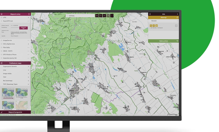
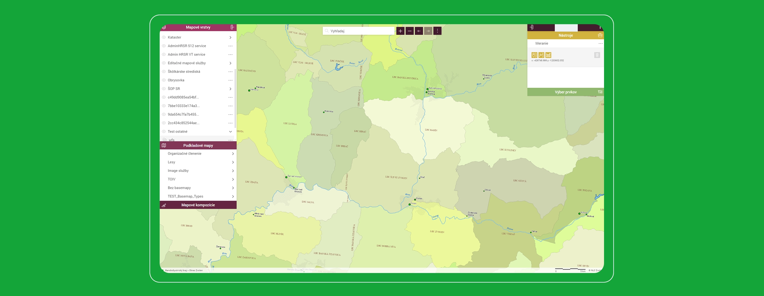
Geografický informačný systém, ktorý zjednodušuje a modernizuje prácu s mapou pre všetkých používateľov a priestorové dáta dokáže integrovať do akéhokoľvek systému.
Rýchla, intuitívna a atraktívna práca s mapou
ySpatial je moderný mapový portál, ktorý radikálne zjednodušuje a modernizuje prácu s mapou a priestorovými údajmi v podnikoch aj organizáciách, ktoré spravujú veľké územia, siete či technológie. ySpatial dovoľuje s mapou pracovať každému používateľovi, ktorému prístup k priestorovým údajom a GISu zlepší, skvalitní alebo zjednoduší pracovné úlohy. Takáto zmena filozofie práce s mapou zrýchľuje a zjednodušuje používanie GISu, aj zásadne rozširuje okruh používateľov. Práca s ySpatial si nevyžaduje osobitné zručnosti, potrebné informácie v mape nájde, prezrie, upraví a vytlačí každý bežný užívateľ počítača. ySpatial slúži pre prácu s geopriestorovými údajmi, pre získavanie informácií o priestorovo definovaných objektoch a ich vzťahu k okoliu. Intuitívnym dizajnom zjednodušuje, zrýchľuje a zatraktívňuje každodennú prácu s mapou.


Lesníci z Lesov Slovenskej republiky plánujú a hodnotia dlhodobú starostlivosť o les v intuitívnom online aj offline geopriestorovom informačnom systéme ySpatial. Lesný majetok a pozemky spravujú v systéme Pozemkár na platforme yAgenda.

Lesníci z Vojenských lesov a majetkov, š.p. komplexne plánujú a hodnotia dlhodobú starostlivosť o les v intuitívnom online aj offline geopriestorovom informačnom systéme ySpatial.

Prepravca plynu Eustream zaisťuje bezpečnosť a spoľahlivosť plynovodu technicko-mapovým informačným systémom PIMS, ktorý technické údaje spracúva relevantne pre každú profesiu. Prepravné a skladovacie kapacity plynu predávajú a doplnkové klientske služby ponúkajú s automatizovanou obchodnou dispečerskou platformou yCapacity.
VYSOKÉ BENEFITY
- Zber, spracovanie, správu a aktualizácia údajov o aktívach spoločnosti, s dôrazom na priestorovú zložku.
- Vyhľadávanie prvkov krajiny a ich lokalizáciu v mape podľa popisných alebo priestorových vlastností a vzťahov.
- Centralizáciu a harmonizáciu priestorových údajov spoločnosti s cieľom zjednodušeného online prístupu pre veľké množstvo používateľov.
- Automatizáciu a skvalitnenie procesov v spoločnosti, spojených s priestorovým spracovaním aktív spoločnosti.
- Podporu výkonu činností terénnych pracovníkov v mobilných zariadeniach.
- Zásuvný modul pre prácu s priestorovými údajmi v externých informačných systémoch.
- získanie vlastníckych vzťahov priamo z ESKN
- spracovanie grafickej evidencie v lesnom hospodárstve
- monitoring a vyhodnotenie zimnej údržby cestnej siete na mapovom podklade
- reporting výsledkov vyhodnotenia a monitoringu území s vysokou prírodnou hodnotou
- získanie informácií o zásobách dreva v lesných porastoch, v odvozných miestach
- podporné priestorové nástroje pre manažment potrubných dvorov a líniových stavieb
- Priestorové analýzy a výber prvkov do mapy a tabuľky.
- Zber, spracovanie, správa a aktualizácia všetkých informácií o aktívach spoločnosti a ich stave s dôrazom na priestorovú zložku – polohu objektov.
- Zjednotenie veľkého množstva roztrúsených informácií do jednotnej informačnej štruktúry a zabezpečenie ich konzistentnosti a jednoznačnosti.
- Online aktuálne informácie o priestorovom rozmiestnení objektov dostupné všetkým.
- Umožňuje okamžité zhodnotenie realizovateľnosti pracovných úloh na základe všeobecných priestorových informácií z oblastí kvality životného prostredia, vodného a lesného hospodárstva, geológie, dopravy atď.
- Uplatnenie nachádza aj v geomarketingu pri návrhu strategických zmien spoločnosti na trhu.
- Spracováva široké spektrum informácií o aktívach spoločnosti a vyjadruje ich v grafickej i negrafickej podobe a umožňuje zobrazenie doplnkových multimediálnych informácií k objektom spoločnosti (audio a videosekvencie, fotografie, doplnková dokumentácia).


